

One of the many reasons Oregonians love their state is because of the short distances between them and the many destinations heaped with outdoor recreational opportunities. And while many Portlanders travel to recreational havens along Oregon’s coast and in Central Oregon, an area even closer to Oregon’s big city awaits those seeking a vast array of outdoor recreation opportunities. You could call it the place Portland forgot, but it is also an area many Oregonians have yet to discover.
This area along the foot of the Cascades east of Mt. Hood is a contrasting mix of tree topped mountains and arid bench It is habitat for deer, quail, wild turkey, geese, squirrels, bears, cougars and elk, while lakes and rivers in the area team with fish. Rafting and kayaking opportunities abound in the spring and summer months. In the winter, snows lay down a surface for snowmobiling, sledding and cross-country skiing.
 |
| Map of Oregon highlighting Wasco County (Photo credit: Wikipedia) |
One of the numerous destinations in the area is Rock Creek Reservoir, a small lake nestled along the first step of the many ascending the eastern slope of Mt. Hood. It is located only a few miles west of Wamic, just off highway 48. Here, forested, lakeside campgrounds await weekenders looking for more solitude than nearby Pine Hollow Reservoir provides. Children frequently swim the shallower shoal areas of the lake, while anglers take advantage of deeper waters frequently stocked with rainbow trout.
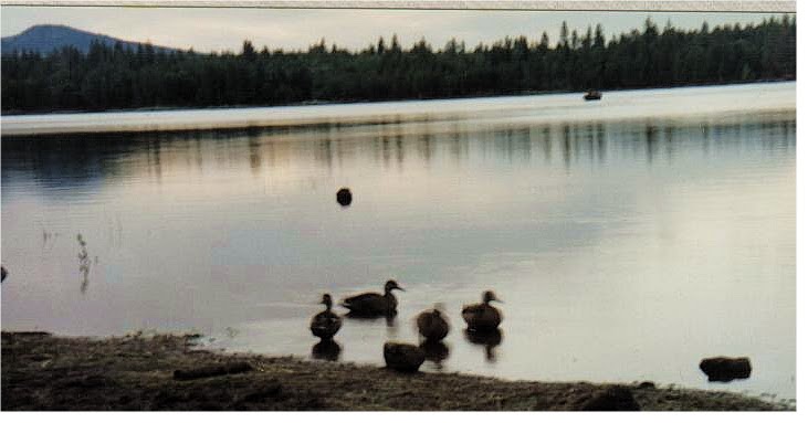 |
| Rock Creek Reservoir |
 |
| View east toward Wamic and Tygh Valley from Badger Creek Wilderness |
 |
| Pine Hollow Reservoir |

Just down the road from Pine Hollow lies Tygh Valley, located on the shores of Tygh Creek. This quaint little stop is home to the Wasco County Fair. A few miles from town, heading east toward the Deschutes River, is the White River Falls State Park. A day-use area only, the park’s main attraction is the action of the White River plunging over basalt cliffs before its rendezvous with the Deschutes River. The steep descent from the top of the falls to the river below was once utilized to propel water at a high speed down a pipeline and into a power generating facility downriver. The force generated by the rushing water helped propel a single turbine that generated electricity for the area.
 |
| White River Falls |
 |
| Deschutes River in Oregon, at Deschutes River State Recreation Area. (Photo credit: Wikipedia) |

Oak Springs fish hatchery is another interesting destination if you enjoy looking at big trout. Off of highway 197 between Tygh Valley and Maupin, Oak Springs road winds down the steep face of the Deschutes River Canyon to the fish hatchery. From eggs to lunkers weighing 15 pounds or more, fish here are raised and can be observed at various stages of their lives. Springs from the canyon walls are used to fill the hatcheries cement trout ponds, which is key to maintaining a steady water temperature all year long for the fish.
Take a day and wander over to this area of Oregon. And if you do, you’re likely to return home a little more laid back and lot more appreciative of all the state has to offer.
