 |
| Mt. Jefferson and Olallie Butte |
As soon as I locate this trail on a map, I'll update this post. For now, I'll simply explain what I saw along the this hike on the Unknown Trail.
I parked the truck along road 4880, a few miles before the trailheads to Boulder Lake and Boulder Creek. While actually trying to find another hike, I spotted a small white sign out of the corner of my eye, stopped my truck and backed into a small parking area. The map I had did not show the trail, but, being somewhat familiar with the area, I decided to see where the trail led.
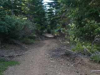
The Unknown Trail begins on a roadbed and gradually gains in elevation throughout the hike. In fact, most of the trail consists of the old roadbed, which obviously was used to log much of the forest along the trail many years ago. Early on in the hike, the forest surrounding the trail is thick but soon thins where logging took place a number of years ago. Groves of Noble firs, 10 to 20 feet tall, border a significant stretch of trail. Here, Mt. Jefferson and the tip of Olallie Butte can be seen. Soon, the steep East face of Mt. Hood appears through the Nobles.
Mt. Hood through the Nobles
Rarely was the trail not decorated with deer hoof prints. The sound of a bounding deer was heard, but the Noble fir forest was just thick enough to hide its escape from my searching eyes.
Deer tracks on the trail
For a short section of the trail, the Nobles mingle with pines, then give way to the pines. The old road looks more like a trail here and soon ends at a gravel road. Like the trail, I haven't figured out which road this is. However, a right turn and a walk on the road a few yards leads to another trail, which heads further into what appears to be old growth forest.
Trail
I calculated the hike to be about 3 miles up and back on a very easy and well graded trail. Hiking through a forest where views were frequent was a nice change after having recently hiked through some thicker, taller stands, where views were limited.


